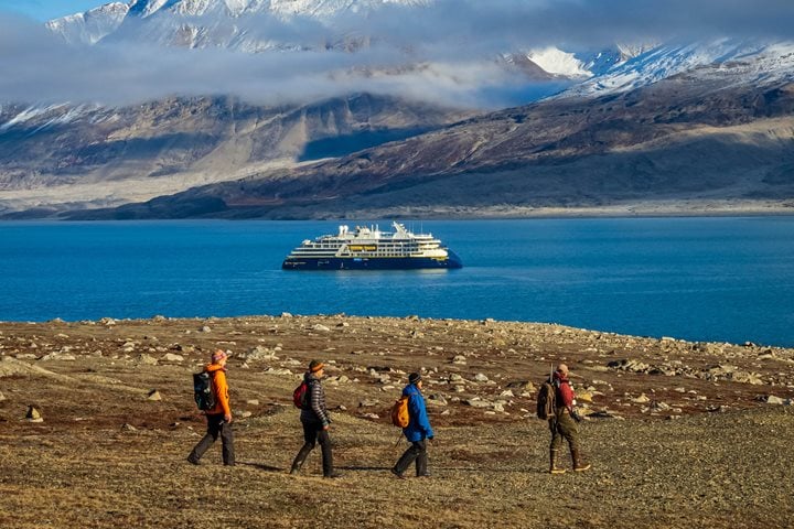
Every now and again, you come across adventure travel experiences that are so spectacular that not even bad weather, cranky company, or a glitch in planning could ruin. The landscape itself simply delivers—every single time. As a company, Lindblad Expeditions has always sought out these types of geographies and experiences for our guests, and today, Dagny and I discovered one of the latest and greatest. Get Inspired By Photos, Videos, Webinars, Stories, And Exclusive Offers. Sign Up
Photo by Alizé Carrère.
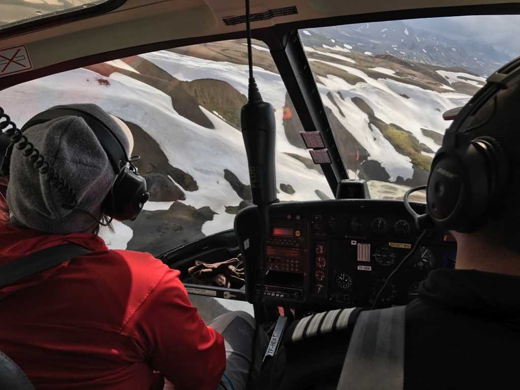
We’re here planning a new 3-day/2-night Iceland heli-hiking extension. This will be a truly adventurous and active way of exploring the island, including one full day of heli-hiking around southwestern Iceland. To do this, we’ve teamed up with Nordurflug Tours, Iceland’s premier helicopter company. Today, Dagny and I set out via helicopter to check out the places where we will be dropping in for hiking, and to get a sense of how this exciting day will play out. The two hikes we did covered landscapes and terrain that I can only describe as otherworldly. Because they were each so different and so spectacular, I will dedicate this post to the morning hike in the Kerlingarfjöll mountains, and tomorrow’s post to the afternoon hike on a glacier.
Photo by Alizé Carrère.
After departing Reykjavik by helicopter, we made our way toward Kerlingarfjöll, a mountainous geothermal area in the (almost) center of Iceland. The flight took around 40 minutes, which afforded us extraordinary aerial views en route. We flew over waterfalls, braided riverbeds and deltas, hardened lava flows, and the stunning Langjökull glacier (which guests will have visited the day prior during the Into the Glacier excursion). We landed on a remote hill in the heart of the Kerlingarfjöll mountains, amidst steaming geothermal vents, melting ice packs, and twisting rivers. The area is characterized by extensive geothermal activity, which has eroded much of the rhyolite rock and given way to hot spring clay. We felt this immediately as we got out of the helicopter and began our hike—a light, spongy feeling under foot.
Photo by Dagny Ivarsdottir.
With our guide leading the way, we started to hike down the hill towards the river, which we would follow for the next 45 minutes. It is important to have waterproof hiking boots, as you will get your feet wet walking along the shallow waterbed! This was an incredible part of the hike. We then cut upwards toward one of the nearby hills to get higher above the stream. Once up there, our views turned into what started to look like another planet. Beautiful colors surrounded each geothermal vent as steam blew across the mountain tops, and we looked down at the river bed we just walked along. We kept making our way up until we reached one of the flattened peaks where our helicopter and pilot was waiting for us. After about 2.5 hours of hiking in this area, it was time to fly to a lunch spot where we would unpack a delicious picnic and enjoy a meal in nature. Below are some more photos from our hike.