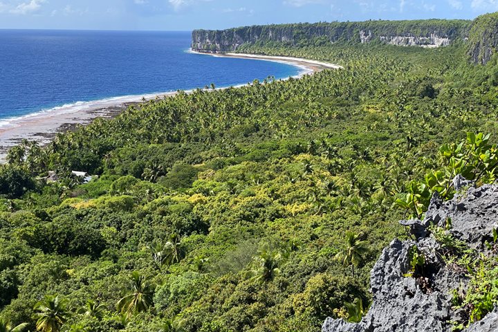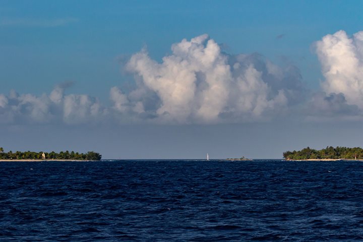
After cruising during the night from the Society Islands, National Geographic Resolution arrived at Makatea. A part of the Tuamotus Archipelago, this is a raised coral atoll is surrounded by spectacular cliffs up to 80 meters above sea level. Its name is derived from the drinking water brought out from its caves by the local people. “Ma” meaning pure or clear and “Ätea” means light of the day. Its other name is Mangaia-te-vai-tamae, meaning “Mangaia of the purified water.”
There is a small port called Temao and a village called Vaitepua. This used to be a prosperous village during the phosphate mining period between the 1917 to 1964. Makatea had a large phosphate deposit so it brought hundreds of people to work on the mines but after the end of the phosphate exploitation, it was almost left on its own. Today its population is not more than 67 inhabitants related to the small families left to guard the island.
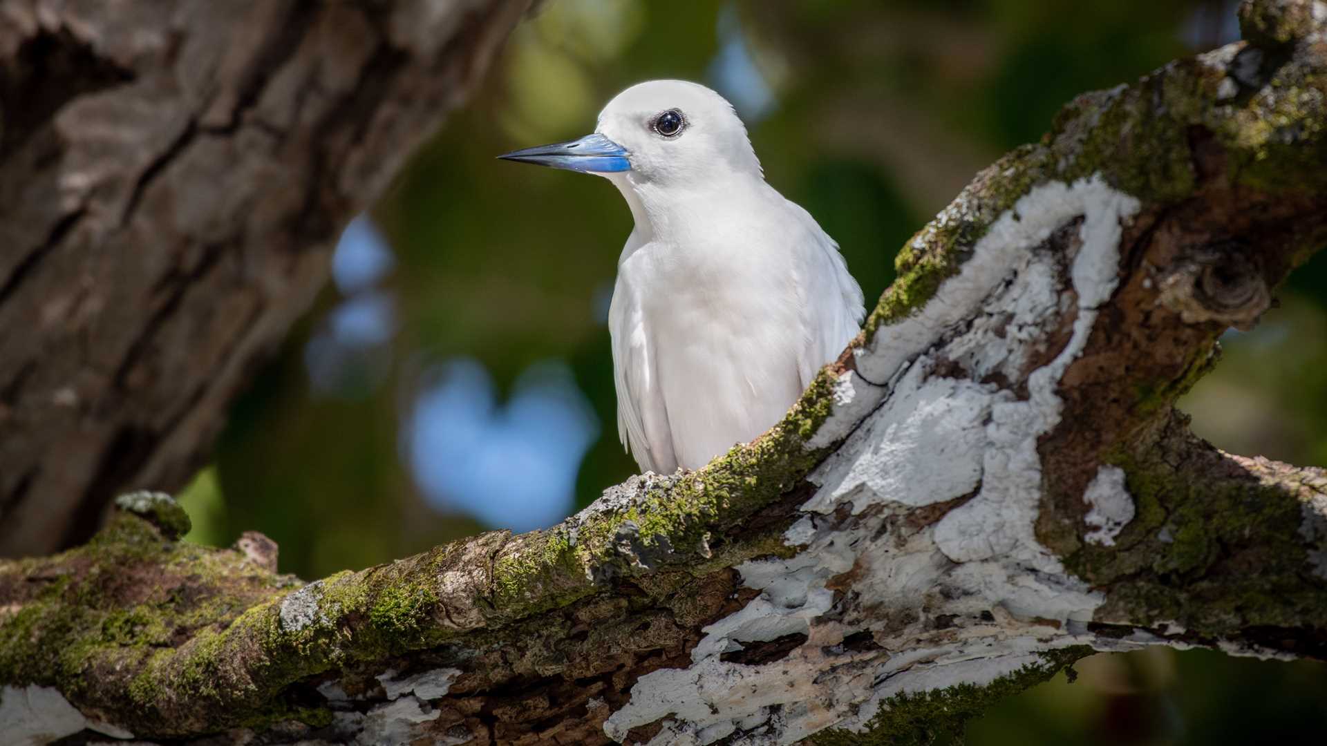
Right after breakfast, we explored this island, finding remnants of the phosphate mining era, such as old railroads tracks, abandoned machinery and structure, plus millions of holes left by the extractions. But nature is bouncing back and we spotted a number of endemic birds, including the Tuamotu reed warbler, the Polynesian Imperial pigeon, and the colorful Makatea fruit dove. Many sea birds were also sighted along the beach area. Afterward, we had the opportunity to refresh ourselves in the fresh waters of a grotto.
In the afternoon, we enjoyed the surrounding reef with activities such as diving, snorkeling, and exploring by Zodiac. We returned to the ship delighted with our experience on this little island of the Touamotu Archipelago.