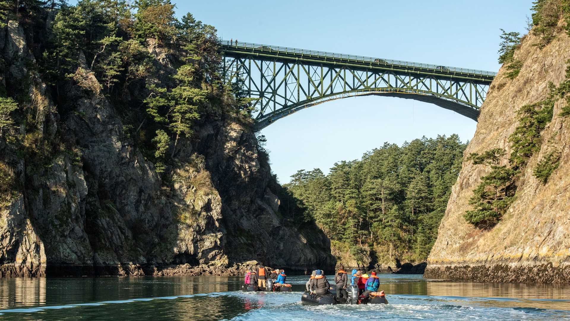
As the sun rose in the east the National Geographic Venture continued making her way north towards her destination near Deception Pass, a narrow passage of water between Whidbey Island and Fidalgo Island. The pass was named by Captain Vancouver who found the entrance deceiving in appearance, hence the name Deception. Only when long boats paddled in did his entire crew realize the danger of many of the narrow inlets that make up the Salish Sea and the Northwest Coast of north America. Every six hours the tide rushes in and then out through this tiny passage. The salt water depth is 145 feet and depending on the phase of the moon as much as 20 feet of salt water will be exchanged between Skagit Bay and the Salish sea, during the tidal changes every six hours.
A narrow bridge was constructed in the 1930’s by the Civilian Conservation Corps crossing Deception Pass and connecting the two islands. Deception State Park spreads over 3,854 acres and has both a marine and camping park with 77,000 feet of salt water shoreline and 33,900 feet of freshwater shoreline on three lakes within the park boundaries.
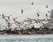
After breakfast we were invited to take a Zodiac ride through Deception Pass and spend time inside Skagit Bay searching for all the inhabitants who call low tide their home! Great blue herons, harbor seals, belted kingfishers and gorgeous light graced our ride as we entered on an ebb tide and returned on an incoming tide through the many whorl pools created by a huge rush of incoming tidal waters.
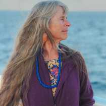
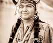
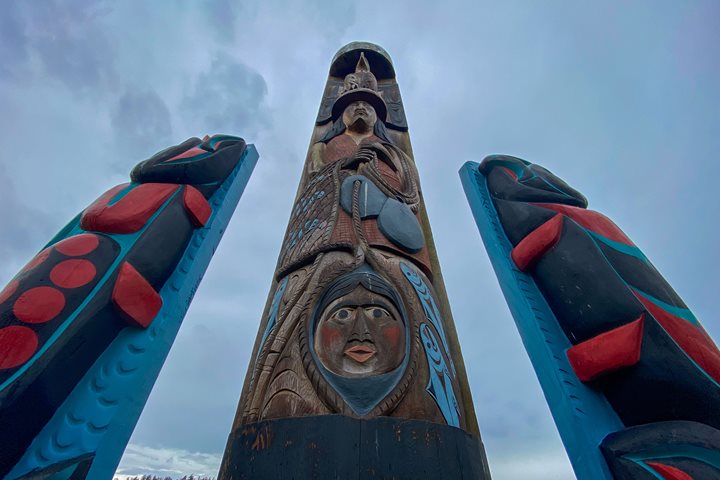
After our Zodiac rides were complete we returned to the Venture and we were invited to the lounge to experience something truly Northwest Coast. Headman Jim Thomas our Tlngit guest speaker came forward in full regalia representing his ancestral home in the north of the NW Coast. The art of great story telling and oratory we were graced with an introduction to the Indigenous people who call the waters and lands we are visiting their home. Mr. Thomas gave a blessing to protect the Venture as she continued her journeys south for the winter.
While we all enjoyed a hearty lunch, our ship repositioned just off of the most southern tip of Tsawwassen peninsula just south of Vancouver Canada. Point Roberts is located under the 49 parallel. It is therefore inside the United States. A small population of approximately 2,000 people must travel 25 miles through Canada and cross the border to enter the rest of the United States, which of course became quite an ordeal during the recent pandemic. Local communities in Whatcom County came to their aid and provided ferry transportation for community members, so they could reach both the towns of Blaine and Bellingham Washington. A much need service during the very long period the border between the US and Canada remained closed.
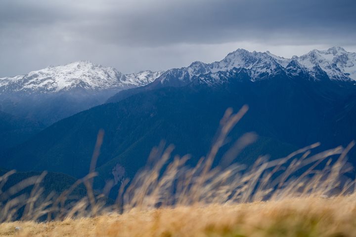
We spent our afternoon exploring Lily Point beach and the surrounding woods. Lily Point is located near Boundary Bay Canada, a well-known bird reserve. Birders had a chance to see many birds both on water and in flight, while hikers enjoyed a rare treat of a walk through a deciduous forest dominated by Big leaf and vine maples. Hikers went to a look out at the top of the cliffs and looked out over the San Juan Islands, listening to Snow geese heading south to Skagit valley. The big leaf maple were in full fall color, a bright yellow, gorgeous against the blue afternoon sky. Close to sunset we all returned to a warm ship for our evening recap and cocktails just as a nearly full moon was rising in the east, completing a day filled with visual feasts.