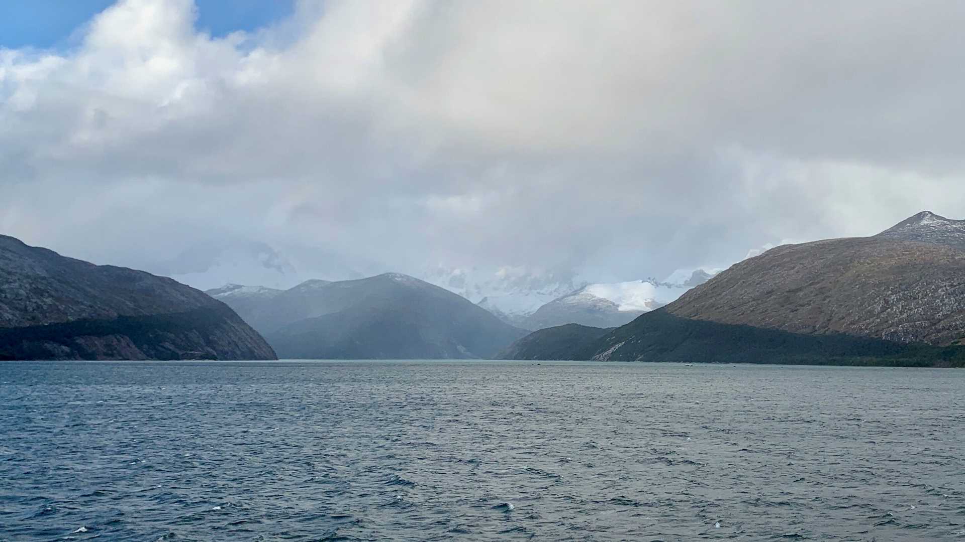
The fjords and channels of Southern Patagonia form a difficult and complicated pattern at sea level. Although our destination today is only about twenty straight line miles from yesterday’s outing, we have sailed overnight and through the morning to arrive on the opposite side of the Cordillera Darwin Ice Field, where southward flowing glaciers carved spectacular fjords that tumble down into the Beagle Channel. We’ve gone around the westernmost portion of Isla Grande de Tierra del Fuego. Massive peaks, hidden in the clouds, rise almost 3000 meters.
When viewed from above, the pattern is a crisscross of north-south and east-west valleys overlaying the mountain chain, which bends like an “L” along the western and southern margins of the region. These are, of course, related to the structure of the rocks and the way successive glaciations over millions of years eroded the weaker faults, flowing off the highest peaks and leaving behind valleys deep enough to be flooded by the ocean. No wonder sailors were confused by the islands and passages for centuries, even after the HMS Beagle famously charted these waters in the 1820s and 30s.