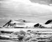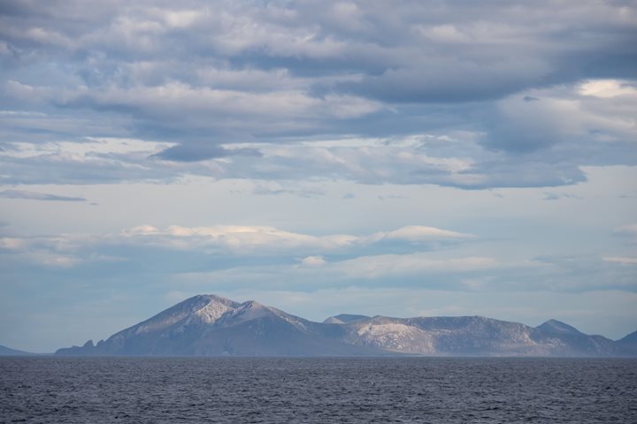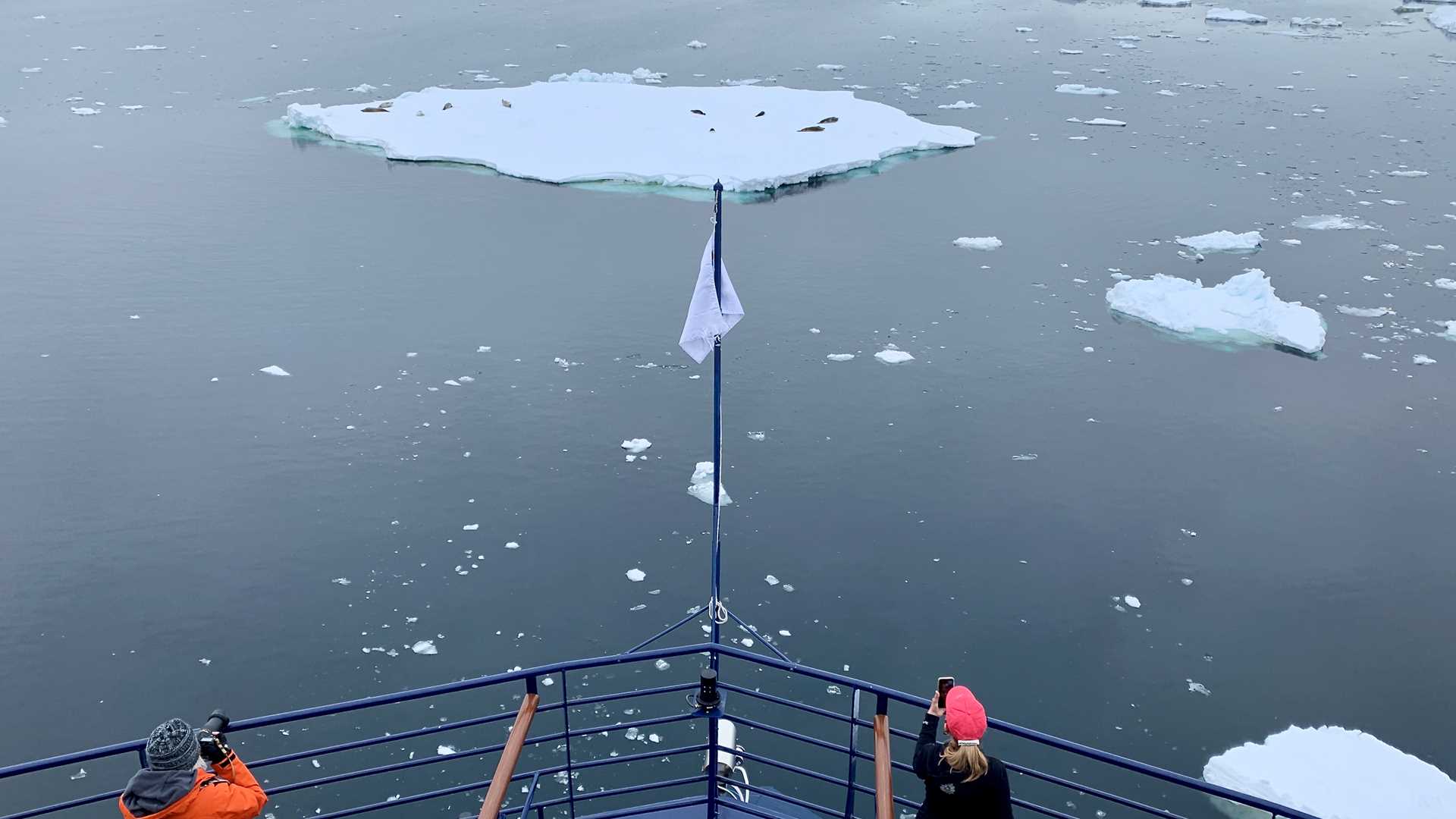
After a day returning eastward from Peter I Island, we sailed into the southeastern corner of the Bellingshausen Sea. We planned to explore the western side of Alexander I Island, where ice dominates the sea and landscape. Low, rounded ice caps marked the land while sea ice floes drifted with the wind and water. Tabular bergs that calved off nearby ice shelves moved with the current.
First sighted and named in 1820-1821, these islands represented the southernmost lands known at the time. On our expedition, we have modern tools for exploration, including advanced communications, satellite images of ice, electronic nautical charts and navigation equipment. Most importantly, we have the very capable platform of National Geographic Endurance. It is an incredible contrast with the voyage of Fabian Gottlieb von Bellingshausen, who was in charge of the First Russian Antarctic Expedition. Bellingshausen began his journey with two small wooden ships, simple chronometers, basic sighting equipment and a big blank space on the map. One has to marvel at the magnitude of the expedition’s accomplishments.